Transit To Downtown: Route 20 Today, BRT Tomorrow
Sitting in I‑40 traffic from Garner to downtown can drain your time and energy. If you want a simpler, more predictable commute, transit gives you options today and even more tomorrow. This guide shows you how to use GoRaleigh Route 20 now, what the planned Southern Corridor Bus Rapid Transit (BRT) could add, and how to plan a car‑light routine that fits your life. Let’s dive in.
Route 20 is part of the City of Raleigh’s GoRaleigh bus network. It provides a direct connection between parts of Garner and central Raleigh, including downtown. In downtown, you can access major transfer points that link to other local and regional routes for travel across the Triangle.
If you are new to the route, review the current GoRaleigh map and stop list before your first trip. Note the closest stop to your home, any nearby landmarks, and the downtown terminal where you plan to transfer or walk to your destination.
Service frequency and span can vary by time of day and day of week. Peak periods often offer more trips, while off‑peak and weekends may see longer waits. Check the latest GoRaleigh timetable for Route 20 before you travel, and build a small buffer into your schedule, especially if you have a transfer.
GoRaleigh publishes a local fare for single rides and also offers passes that can lower your cost if you ride often. Mobile payment options and pass products are designed to simplify boarding and transfers. Review the current fare table and any reduced‑fare policies that may apply to you.
GoRaleigh operates buses designed for ADA accessibility, with features such as low floors, kneeling capability, and ramps. Most buses also accommodate bikes on exterior racks, which can be helpful for first‑ and last‑mile connections. If you rely on a wheelchair or plan to bring a bicycle, check the latest rider policies and vehicle features before your trip.
Downtown Raleigh’s central hubs make it easy to connect from Route 20 to other GoRaleigh services and to regional connections. If you commute beyond downtown, plan your transfer point and expected wait time in advance. If you keep a car but want to drive less, look for any published park‑and‑ride options serving the southern corridor, or arrange a home drop‑off at a convenient curbside stop.
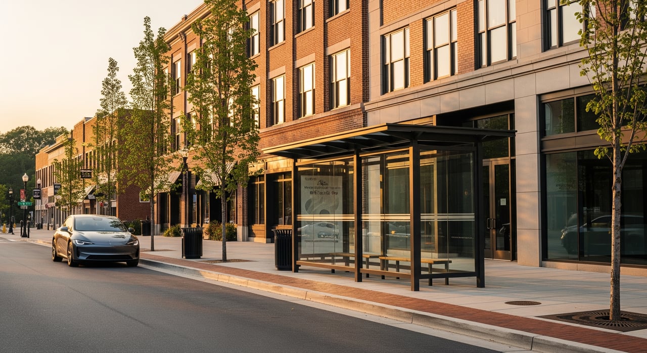
The Southern Corridor BRT is planned to boost capacity, frequency, and reliability between the southern suburbs, including Garner, and downtown Raleigh. You can expect faster trips, more all‑day service, and improved comfort at station areas. BRT upgrades usually help buses bypass traffic and keep on schedule, which can make your commute more predictable.
Typical BRT features include enhanced stations with shelters and level boarding, limited stops for quicker service, and transit priority at signals. Many BRT lines use dedicated or prioritized lanes where feasible to avoid congestion. Off‑board fare collection or proof‑of‑payment can reduce dwell time, and real‑time information helps you plan at the platform.
The Southern Corridor concept targets the connection from southern Wake communities to downtown Raleigh. For Garner, that means a more direct, frequent service pattern that reduces the need for extra transfers. Project phases include planning, environmental review, design, funding, construction, and opening. Timelines can shift as milestones are met, so check the project sponsor’s updates for the latest status.
BRT can require right‑of‑way changes such as curb adjustments or reconfigured lanes, along with construction impacts during build‑out. Communities often discuss station design, safe crossings, and how to balance transit lanes with auto traffic. Planners may also coordinate affordable housing and small‑business support near stations to promote equitable access.
If a park‑and‑ride lot serves your segment of the corridor, compare the time savings and parking convenience to driving the full distance. If not, plan for a home drop‑off or identify legal curbside parking near your stop. Always leave extra time to park and reach the stop safely.
Compare a monthly transit pass to your current driving costs. Factor in fuel, parking, insurance, and maintenance. If your employer offers transit benefits or pre‑tax commuter accounts, those programs can reduce your net cost. Families can also mix modes, using transit for the primary commute and reserving car use for errands or late nights.
Choose well‑lit stops, and wait near posted signs or shelters. Use real‑time apps to minimize your time at the stop. If you have mobility needs, confirm accessible boarding and securement policies and ask the operator for assistance as needed.
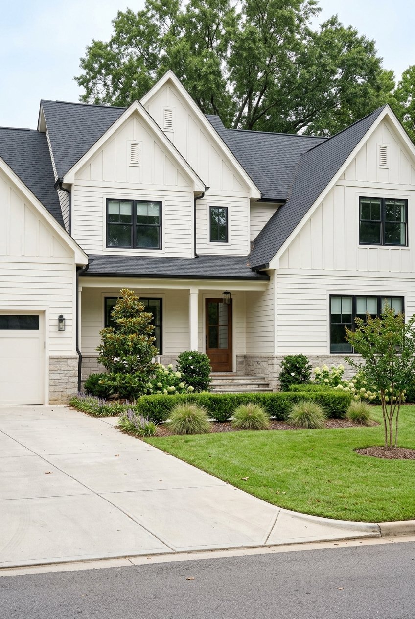
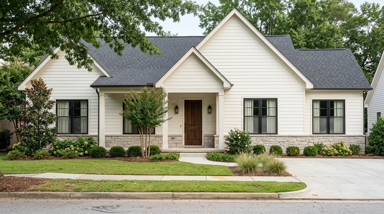
Frequent, reliable transit can expand your practical commute radius. That means you can consider more neighborhoods while still reaching downtown jobs and services. When you compare homes, look for walkable access to frequent stops and an all‑day schedule that matches your routine.
Over time, high‑quality transit often attracts interest and investment near stations. Some areas may see rising demand for both for‑sale homes and rentals, though impacts vary by zoning, station design, and market conditions. Buyers and sellers should watch how station locations and service levels evolve as the Southern Corridor BRT advances.
Local governments often study zoning changes around BRT stations to support mixed‑use development and more housing choices. If you are evaluating a home near the corridor, review current zoning and any publicly shared plans for future changes. Many communities also discuss affordability strategies to help existing residents benefit from improved access.
Ready to find a home that aligns with your commute and lifestyle goals? Talk with our team about neighborhoods that pair strong transit access with the features you want. Connect with Unknown Company to get a personalized plan or Request a Free Home Valuation.

With over 20 years of real estate experience in the Triangle area of NC, Quin Realty Group will give you a full-service experience in purchasing or selling your home! Consider us your personal home concierge!
201 FENTON GATEWAY DR CARY NC 27511